Tomer’s Take:
- Snow continues to fall across the Intermountain West with a WNW flow and powerful jet stream. This is associate with storm #2.
- Storm #3 is riding the heels of storm #2.
- Storm #3 delivers the best orographics and possible weak atmospheric river contributions to the Sierra and Interior Mountain West.
- Period of maximum snowfall for the Sierra: 11/6-11/8.
- Period of maximum snowfall for UT, WY, CO: 11/9-11/10.
Current Setup
Infrared satellite shows the active storm track, atmospheric river (AR), and WNW jet flow.

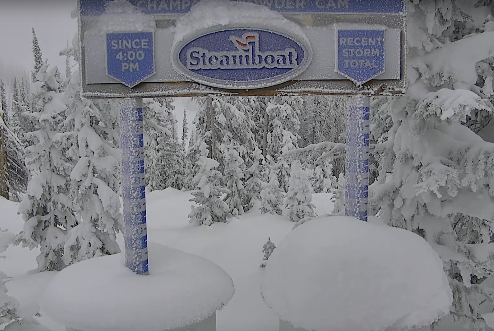
Ski resorts in WY, UT, and CO are all reporting new snow courtesy storm #2, a powerful jet, and WNW flow.

November 6-10
Forecast jet stream flow shows the WNW flow, buckling jet, and strong orgographics.
Valid 11/6-11/10.
Forecast Timing
Forecast radar/satellite valid 11/6-11/11.
Forecast Snowfall
Forecast total snowfall (inches) valid 11/6-11/8.
This is the period of maximum snowfall for the Sierra. I’ve settled on 40″ grand totals for the Sierra based on orographics and weak AR contributions.

Forecast total snowfall (inches) valid 11/9-11/10.
This is the period of maximum snowfall for UT, WY, and CO.

My forecast video 11/6: