Tomer’s Take: The bullseye remains the PNW through 2/13. Then a large storm system (with colder air) sweeps through the Intermountain West on/after 2/14. This storm system develops into an ABQ Low with heavy snow potential for Southern CO and northern NM on 2/15.
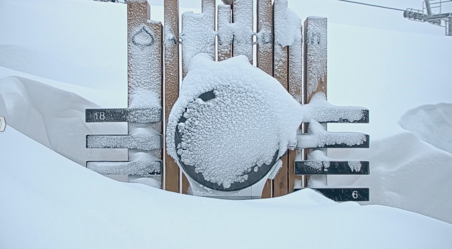
Snow continues at Aspen/Snowmass this morning! Highlands is reporting 6″ in 24 hours.

Jackson Hole, WY is reporting 8″ in 24 hours. The storm has cleared. Look at this crystal clear morning over Cody Bowl.

My afternoon forecast video 2/9:
Current Setup
Infrared satellite shows the two primary storm systems over the Pacific.

Forecast Pattern
Forecast jet stream valid 2/18. The main storm system slides through 2/13-2/15. By 2/18 another storm system an area of low pressure is affecting CA.

Forecast Timing
Forecast radar/satellite valid 2/9-2/14.
Mount Baker
2/9: 3″
2/10: 7″
2/11: 1″
2/12: 8″
2/13: 12″
Forecast Totals
Forecast snow totals (inches) valid 2/9-2/11.

Forecast snow totals (inches) valid 2/12-2/18.
CO snow timing: 2/14-2/15
Teton snow timing: 2/13-2/14.
Taos snow timing: 2/13-2/15.
The storm system turns into an ABQ Low on 2/15 with heavy snow for Southern CO and northern NM.

Forecast snow totals (inches) valid 2/9-2/18.

Forecast snow totals (inches) valid 2/9-2/18.
