Tomer’s Take: Snow is sneaking through the Western Ridge 11/23-11/24 with a larger pattern change after 11/25.
- In the Northeast, a minor storm system slides through 11/25 with light snow accumulation. 2nd warmer storm system 11/27-11/28 is initially rain then changes over to snow. 3rd storm system 11/30-12/1 also starts as rain then changes over to snow.
- Out West, widespread heavy snow likely 11/27-12/1.
Current Setup
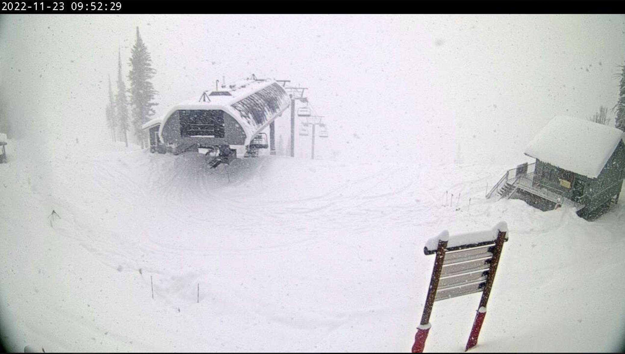
Two inches of new snow is reported at Jackson Hole this morning from the “sneaker low pressure”. This snow is headed for the Central and Northern Mountains of Colorado next.

Infrared satellite shows the low pressure sneaking through the Western Ridge. Large 2nd storm system helps usher in a pattern change later in the month.

Northeast Pattern
What was once a snowy outlook has flipped 180 degrees. A minor low slides through 11/25. Then two larger but warmer storm systems race on 11/27-11/28 and 11/30-12/1. Both start as rain.
Forecast jet stream valid 11/26.

Forecast total snowfall (inches) valid 11/23-11/29.

Western Pattern
Forecast jet stream valid 11/28 shows a large trough replacing the high pressure ridge. This pattern would support widespread snow and colder temps.

Forecast jet stream valid 12/1 continues to show an active pattern for the West.

Forecast Timing
Forecast radar/satellite valid 11/23-11/28.
Forecast Snowfall
Forecast snow totals (inches) valid 11/23-11/25.

Forecast snow totals (inches) valid 11/26-12/1.

My forecast video 11/23: