Tomer’s Take:
- The final storm in the storm cycle is exiting CO/WY.
- What’s next? High pressure rebuilds briefly then a large, drier, colder trough develops across the West.
- This results in only light snow accumulations 11/10-11/17.
Current Setup
Infrared satellite shows the final storm system departing CO/WY and new storm systems upstream. The line-up looks impressive at first glance but it isn’t for the West. The lows are large but it illustrates the importance of other factors like source region, flow trajectory, moisture content, and orographics.

A few follow-up storm totals:
- Alta, UT: 32″
- Grand Targhee, WY: 18″
- Kirkwood, CA: 35″
- Mammoth, CA: 49-70″
- Brian Head, UT: 25″
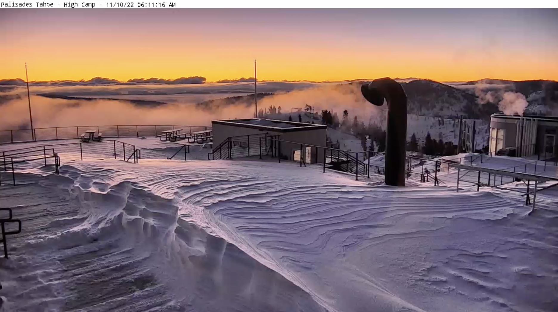
Gorgeous morning view at Palisades Tahoe in the wake of a 39″ storm total.

Mid November Pattern
Brief high pressure rebuilds across the West then a large trough dominates driven by a southern track low. Behind this a northerly flow with a couple Canadian cold fronts take over.
Overall, the pattern is much drier than the previous storm cycle with only light snow accumulations 11/10-11/17.
The forecast jet stream flow below is a good representation for the period.

Forecast Timing
Forecast radar/satellite valid 11/10-11/15.
Forecast Snowfall
Forecast snow totals (inches) valid 11/10-11/14.

Forecast snow totals (inches) valid 11/15-11/17.

My complete forecast video 11/10:
wow, good to see you on ch 2 last night !
Thanks, Judi! It’s great getting some sleep. Fun crew at night too. Chris