Tomer’s Take: I’m forecasting two storm systems (and maybe a third) across the West through 5/11. High freezing levels will temper snow accumulation. Then high pressure builds in 5/12-5/18 with a big Spring surge of heat.
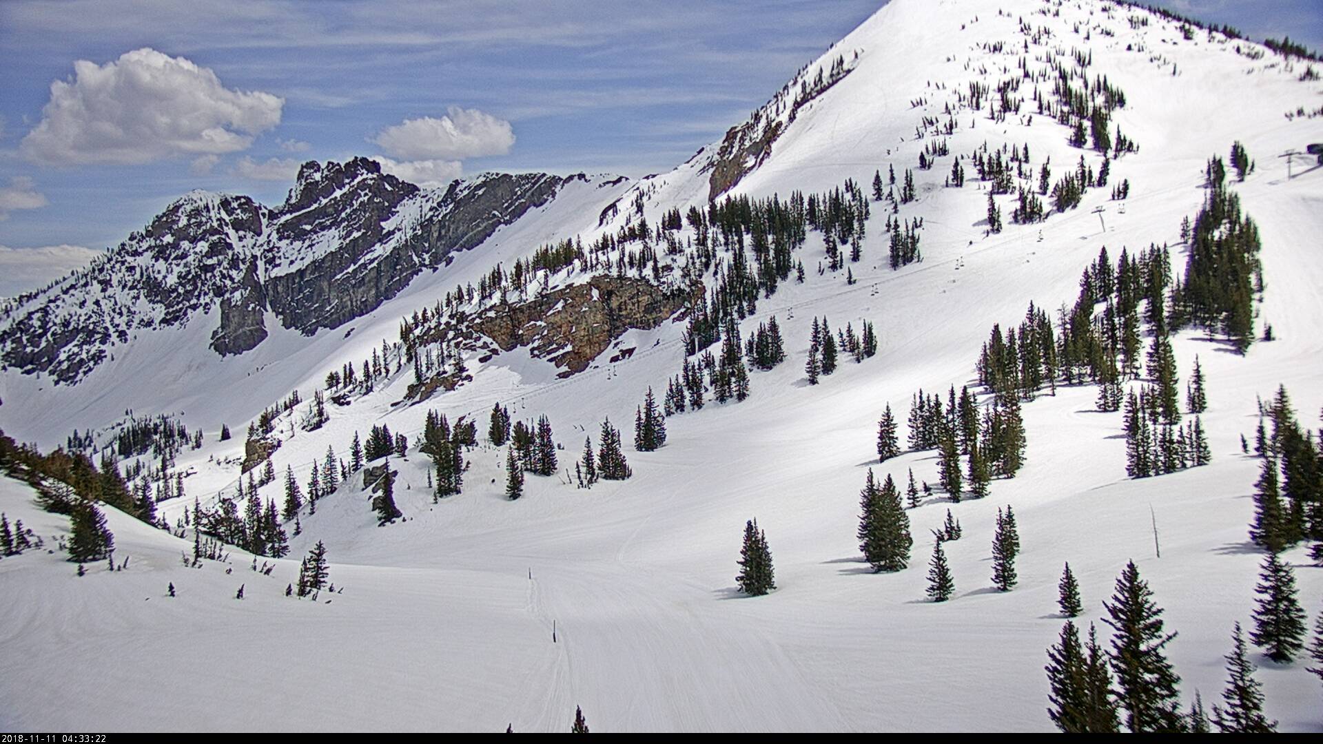
Gorgeous day at Alta, UT, but I do have snow in my forecast along with high freezing levels/melting.

Forecast Freezing Level
Wasatch, Daily Max/Min:
5/3: 12800’/11500′
5/4: 11000’/7700′
5/5: 9000’/7900′
5/6: 9200’/7700′
5/7: 10000’/8500′
5/8: 9200’/7500′
Colorado’s Central Mountain Zone:
5/3: 13800’/10500′
5/4: 12500’/9800′
5/5: 13000’/9400′
5/6: 11500’/8900′
5/7: 11700’/8200′
Forecast Wind Gusts
Quandary Peak, CO, Max Gusts:
5/3: 20mph
5/4: 30mph
5/5: 35mph
5/6: 40mph
5/7: 40mph
Mount Superior, UT:
5/3: 25mph
5/4: 35mph
5/5: 35mph
5/6: 20mph
5/7: 30mph
Forecast Pattern
Forecast jet stream valid 5/8. Notice the trough of low pressure off the West Coast. Jet moves moisture into interior Rockies.

Forecast Timing
Forecast radar/satellite valid 5/3-5/8.
Forecast Totals
5/3-5/12:
Alta, UT Timeline, High Rain/Snow Line Tempered:
5/4: Late 1″
5/5: 1″
5/6: 4″
5/7: 6″+
5/8: 1″
5/9: 6″+
5/10: 2″
5/11: 4″
