Tomer’s Take: The Western storm track continues shifting north favoring the PNW/BC/Northern Tier. The longer range jet stream is low velocity with high pressure ridging. Spring skiing inbound.
My forecast video 4/8:
Current Setup
Water vapor satellite shows an area of low pressure hitting the PNW/BC/Northern Tier. This is the dominate flow.

Forecast Pattern
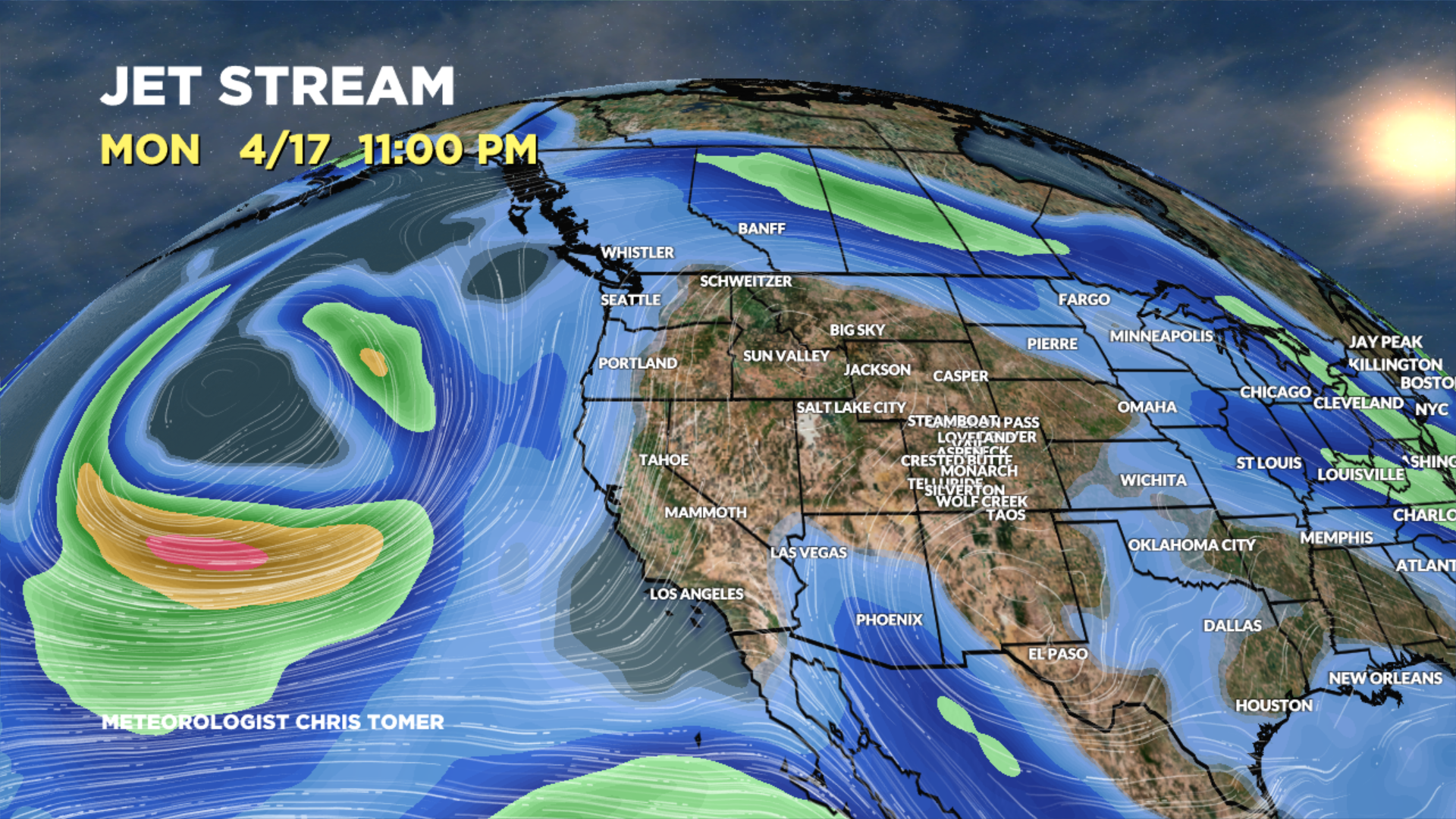
Forecast jet stream valid 4/17. Notice the lack of a significant flow across the Intermountain West. It’s low velocity with plenty of high pressure ridging.

Forecast Timing
Forecast radar/satellite valid 4/8-4/13.
Tetons
4/12: 2″
4/13: 2″
Snowmass, CO
4/8: Late 1″ or less
4/13: 1″ or less
4/14: 1″ or less
4/16: 1″ or less
4/17: 1″ or less
Forecast Totals
4/8-4/10:

4/11-4/17:

4/8-4/17:
Snow chance is 4/16.
