Tomer’s Take:
- Residual snow continues across Colorado in the wake of storm #1.
- The next storm system sends waves of pre-storm snow into PNW, BC, Banff, UT, ID, MT on 10/24 and 10/25. Into CO on 10/25.
- The primary storm system arrives 10/26-10/27.
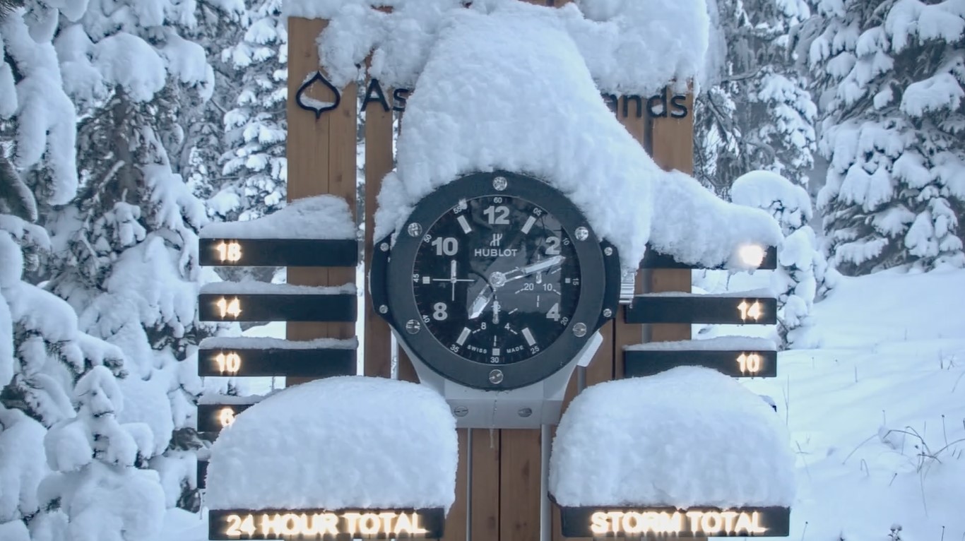
Residual snow continues to fall at Aspen/Snowmass.

Less accumulation occurred at the Tunnel/Divide and East, 2-6″ totals.

Big Sky, MT was one of my snow bullseyes and it verified with 12-24″.

Current Setup
The active pattern continues for the PNW, BC and Intermountain West. Water vapor satellite shows the storm systems lined-up over the Pacific. Orange/red = drier air aloft.

Next Storm System
Forecast mid-atmosphere pressure anomalies valid 10/26-10/27 show a large trough moving through the Intermountain West. Another low is sitting upstream in AK/BC.

Forecast Timing
Forecast radar/satellite valid 10/24-10/27.
Forecast Snow
Forecast snow totals (inches) between 10/24-10/28.

My forecast video:
Thanks so much for your hard work in sharing such detailed information.
That’s why Tomer is the MVM.
MOST VALUABLE METEOROLOGIST! Back to Back to Back champ. (I didn’t know him 4 years ago…)
Thanks, Randall! Chris
Thanks, Ivan! Chris
Snow good rain bad
Thanks, Grog! Chris
Always appreciate you and your work!
Thanks, Colleen! Chris