Tomer’s Take: The large plume of thick wildfire smoke has moved out of Colorado, Wyoming, and Montana. It’s moving east. What’s next? The afternoon thunderstorm pattern continues across the Intermountain West along with a rich moisture feed.
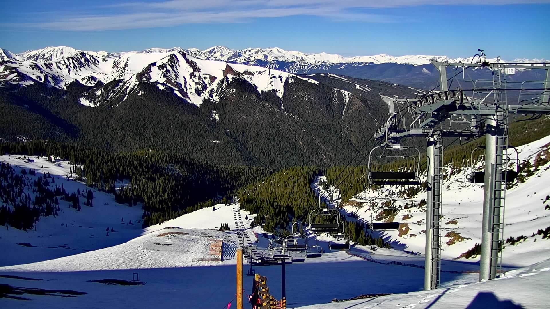
The smoke has cleared! Look at this before/after showing much clearer view from Arapahoe Basin looking West-Southwest (5/22 vs 5/25):


Forecast Smoke
Below is the RAP smoke forecast valid 5/25-5/27, vertically integrated smoke field.
Rich Moisture
We’re seeing extra moisture in the atmosphere across the Intermountain West. This helps fuel afternoon thunderstorms. I’m forecasting afternoon thunderstorms through the end of May. Below is forecast precipitable water percentage of normal deviation valid 5/26. The green/blue represent 100-200% of normal.

Forecast Wind Gusts, Summit-level
Quandary Peak, CO, Summit-level Max Gusts:
5/25: 15-20mph
5/26: 25mph
5/27: 30mph
5/28: 20mph
5/29: 20-25mph
Longs Peak, CO:
5/25: 25mph
5/26: 25mph
5/27: 20mph
5/28: 25mph
5/29: 25mph
Mount Superior, UT:
5/25: 30mph
5/26: 25mph
5/27: 30mph
5/28: 25mph
5/29: 30mph
Grand Teton, WY:
5/25: 30mph
5/26: 30mph
5/27: 30mph
5/28: 20mph
5/29: 30mph

Hey Chris, please don’t forget about your neighbors down in the San Juans/SW Colorado! Most Colorado weather blogs forget about us when there’s no snow
Thanks, Colton! Anything in particular you want to see?
Chris
Hoping to hear a little more about freezing levels in the San Juans this couple weeks and if this moisture stream will effect us the same as the front range? Does not seem we are getting the same PM thunderstorm regime as Denver here in Silverton. Thanks for all you do, I really appreciate your work!
Thanks, Colton!