Tomer’s take:
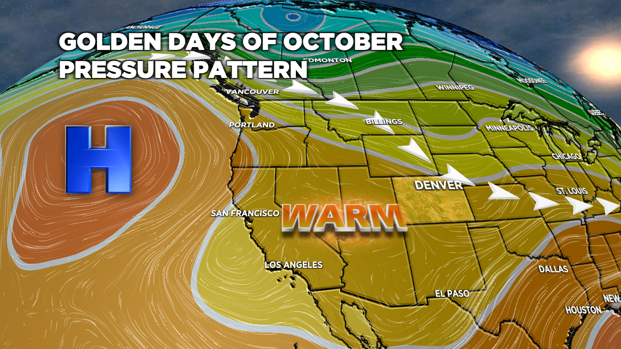
- High pressure remains in control of the West.
- Mid-atmosphere pressure readings are running 2-3 standard deviations above (higher) the 20-year average.
- This pattern mirrors the Fall of 2021-2022.
- When will this change? Some data suggests 10/23.
Current Setup
Infrared satellite shows the large ridge of high pressure sitting over the Pacific/PNW/West.

Crystal clear over Vail Mountain this morning 10/10. Expect another 1-2 weeks of this pattern:

Windy Front 10/11
The only fly in the ointment is a windy, dry cold front on 10/11 in the Mountains of Colorado. Forecast maximum gusts:
| Max Gusts | 10/11 |
| Longs | 60mph |
| Quandary | 50mph |
| Crestone Peak | 60mph |
| Yale | 45mph |
Golden Days Pattern
Most of the active weather is routed into Alaska and parts of Canada. Abnormally warm and dry weather continues across the West.
This pattern mirrors the Fall of 2021-2022.

Snowmaking has started at Copper Mountain, A-Basin, Loveland Valley, and Keystone. Cold, clear, dry nights are good for snowmaking.
Late October Change?
Some data suggests lower atmospheric pressures move on/around 10/23.


Chris – Love the site. When I read 2-3 sigma above 20 year averages, I get concerned about not only this season but next. What could break the high pressure ridge in the Pacific? Given climate changes, does the La Niña goes for 4 next year?
All going points, Matt. It looks like a few lows will break the high on/around 10/22. As for La Nina, a fourth consecutive season is unprecedented. The latest data suggest a transition away from La Nina to Neutral during Winter 2023. Chris