A high wind event 4/3-4/4 deposited desert dust on Colorado’s snowpack. This seems to occur now every Spring. Dirty snow accelerates the melting of the snowpack by lowering albedo.
I co-authored a peer-reviewed article on Colorado’s Dirty Snowpack in 2010.
Below, MODIS visible satellite shows the brown tint to the snowpack in some places.

Dust aerosols on 4/3 were elevated over the desert southwest. The dominate flow in the upper atmosphere was from the southwest. That’s a perfect transfer conveyor-belt into Colorado on 4/3-4/4.

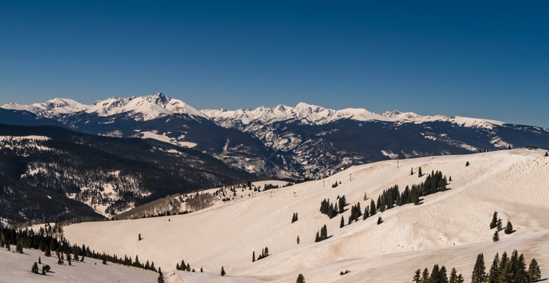
Vail’s live cam looking south clearly shows the brown/orange tint to the snowpack.

My forecast video 4/12:
Forecast Pattern
Forecast jet stream valid 4/21. Notice the large trough off the West Coast with support from the Northern Branch.

The Global Forecast System generates a larger, deeper trough. Forecast mid-atmosphere pressure anomalies on 4/20:

Looking even further down the road —> GEFS Forecast mid-atmosphere pressure anomalies:
This would mean a wet/cool forecast for the West Coast.

Forecast Totals
Tetons, WY:
4/12: 3″
4/13: 3″
4/14: 1″
4/18: 4″
4/20: 3″
4/12-4/14:

4/15-4/21:

Will Colorado see a major spring storm this year?
Hi Brian, we normally see at least one large Spring storm system and have yet to see it. So we’re due.
Chris