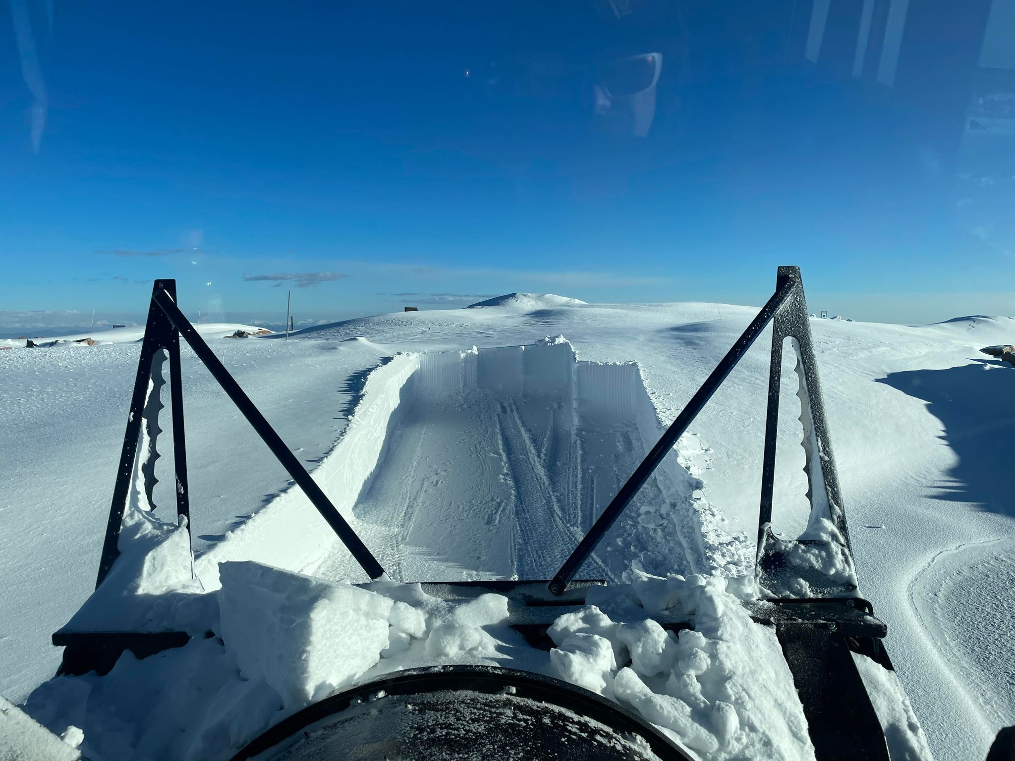
Tomer’s Take: Luke Doyle sent me several amazing photos of crews clearing the road to the 14,115′ summit of Pikes Peak.
The bulk of this deep snow occurred during the ‘super soaker storm system’ on 5/10-5/12. I estimated 3-4 feet accumulated.
All photos are from Luke Doyle who is a senior equipment operator on Pikes Peak.


Smoke Forecast
Forecast RAP smoke model valid 5/23-5/25. Bottom line, air quality across the West improves on 5/24 as smoke moves east.
Moisture Feed
Afternoon thunderstorms are likely through the end of May across the Intermountain West. But, on 5/24, 5/25, 5/26, and 5/27 feature extra moisture in the atmosphere to fuel more robust afternoon rain/thunderstorms.
Below is forecast precipitable water percentage of normal valid 5/24. The green/blue areas represent 100-200% of normal.


Thanks for sharing. So glad for the potential run off!!
Thanks, Lynelle!
Every weekend this month I’ve been checking road conditions to see if I can make it to the top and every weekend so I’ve been disappointed. I guess I need to rethink my plans and shooting for July. I’ll bet there will still be plenty of snow there then too.