Tomer’s Take: A brief ridge of high pressure dominates through 11/29 then it starts to break down. An active pattern takes shape 11/30-12/6 with both jets contributing.
My video Forecast:
7 inches in 24 hours reported at Killington, VT:

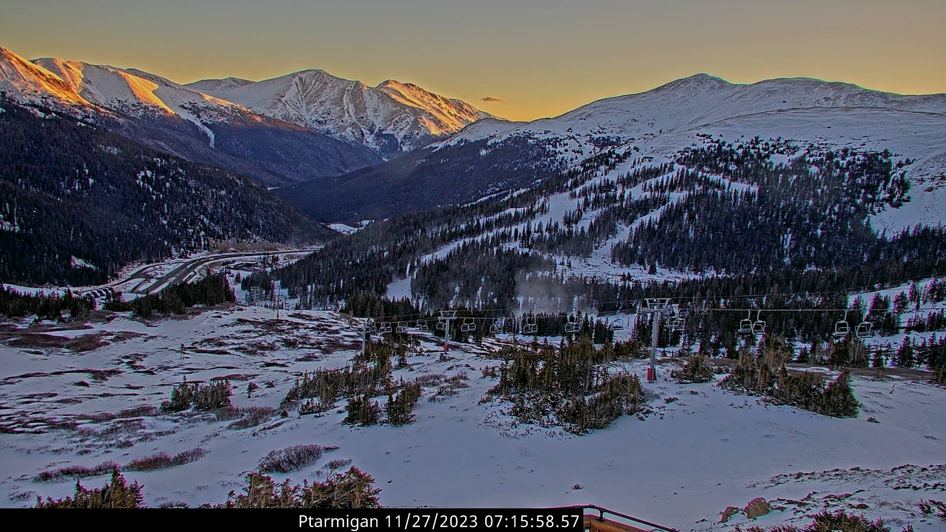
It’s a clear morning at Loveland Ski Area. 12,000ft air temps are around zero. Next snow arrives 12/1-12/4.

Current Setup
Water vapor satellite shows the next area of low pressure approaching CA. This low will take a southern track riding the southern jet. It will help to break down the brief ridge of high pressure.
Orange/red = drier air aloft.

Forecast Jet Stream
Valid 11/28. Notice the shortwave trough sliding into CA.

Valid 12/1. An area of low pressure with jet support moves through UT, WY, ID, CO. Moisture transport continues into the PNW.

Valid 12/6. Riding over the Intermountain West. Rich moisture transport into the PNW.

Forecast Radar & Satellite
Forecast Snow Totals
*Updated 4pm 11/27.

*Updated 4pm 11/27.
Valid 11/30-12/6.
WY Snow: 12/1-12/5 (Bulk 12/2-12/4)
UT Snow: 12/1-12/4.
CO Snow: 12/1-12/4.
NM Snow: 11/30-12/3.
