Tomer’s Take: A new Pacific pattern engages 1/19-1/28 with warmer air temps, higher snow levels, heavy West Coast/PNW precipitation, and a couple southern track storm systems. The next wave of snow hits the Wasatch, Tetons and mountains of Colorado 1/20-1/22 with light to moderate snow accumulation. CA gets moderate to heavy snow above 7500′ late 1/19-1/22.
My afternoon mountain weather forecast update video:
Current Setup
Water vapor satellite shows a strong Subtropical jet ushering in a few different storm systems to the West Coast/PNW.
Orange/red = drier air aloft.

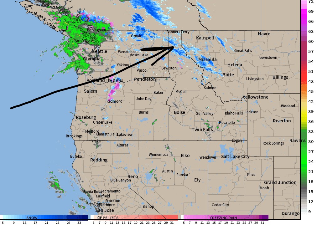
Radar shows where the precipitation is falling in the PNW/West Coast.

Forecast Jet Stream
New Pacific pattern engages with strong Subtropical jet.

Two storm systems take a southern track. Notice the trough over the 4-Corners.

Forecast Radar & Satellite
Forecast Snow Timeline
Wasatch: Light to moderate PM 1/20 through early 1/22, Light 1/23.
Teton: Light to moderate 1/20-1/21, Light 1/23-1/24.
Colorado’s Mountains: Light 1/21-1/22.
Sierra: Moderate to heavy above 7500′ late 1/19-1/22.
Forecast Totals


Northeast:
VT/NH/ME Snow: Light to moderate PM 1/23-1/24, moderate to heavy 1/25-1/27.
