Tomer’s Take: It’s a waiting game for the Central and Northern Rockies with high pressure in control. The next pattern shift and storm system(s) arrives on/after 3/21 for PNW/CA/ID/MT/UT/WY/CO.
A cut-off low continues to spin across the Four Corners with waves of snow through 3/19.
Timing
Cut-Off Low Continues across S. Utah/AZ/NM/SW CO.
Sierra: Next Storm System 3/22-3/23, 3/25-3/26.
Tetons: Next Storm System PM 3/22-3/24, 3/26.
Wasatch: Next Storm System PM 3/21-3/24, 3/26.
Colorado: Next Storm System 3/22-3/25.
Revelstoke: Next Storm System PM 3/20-3/22.
Northeast: L/M Accum 3/18-3/21.
My afternoon forecast video update:
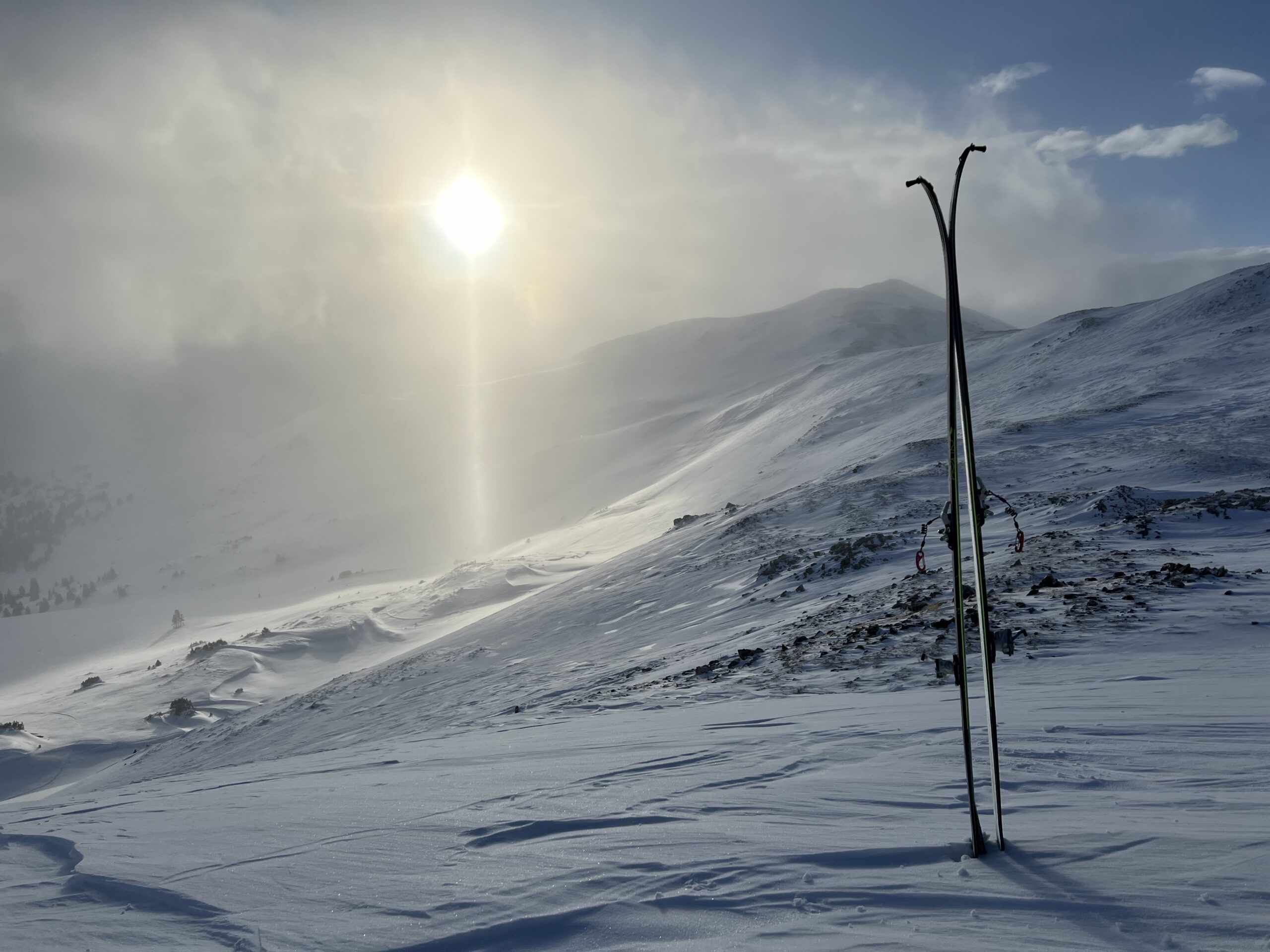
I was out yesterday morning skiing Colorado’s backcountry and there was some nice powder from the big storm system on 3/15. This was not a cold storm system for Colorado, and some of the snow at lower elevations was dense.

Current Setup
Water vapor satellite shows the cut-off low over the 4-Corners. It also shows the high pressure over the Central and Northern Rockies.
The forecast keys are the two areas of low pressure over the Pacific. They will usher in the pattern shift on/after 3/21.
Orange/red = drier air aloft.

Forecast Radar & Satellite
Forecast Totals
Grand totals by late 3/26.


Always love your forecasts! How do you think flying into Denver may be late aft 3/22–heh heh.
Hi Kristin! Only snowy day at DIA appears to be 3/24. Chris