Tomer’s Take: The Western pattern turns tranquil with one exception. An area of low pressure develops 12/13-12/14 in Southern CO and Northern NM with moderate to heavy snow accumulation. Otherwise, the storm track stays quiet through 12/20.
In the Northeast, a Nor’ Easter might occur on/about 12/18 but it looks warm.
Season Totals so far:

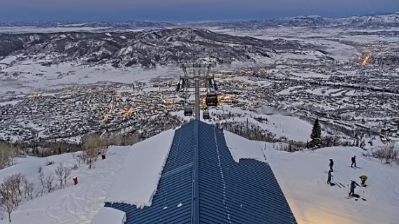
Skies have cleared at Steamboat Ski Area. The view from Thunderhead and uphill traffic:

Current Setup
Water vapor satellite shows an area of low pressure cut-off from the northern branch sliding through the Intermountain West. This energy develops into a stronger area of low pressure in Southern Colorado and Northern New Mexico 12/13-12/14.

Forecast Jet Stream
Valid 12/13. Northern branch runs north into Canada leaving most of the West warmer than normal. Developing area of low pressure with southern branch support in Southern CO and Northern NM.

Valid 12/21. Northern branch runs north into Canada leaving most of the West warmer than normal. A trough stays offshore of CA.

Possible Nor Easter
Valid 11pm 12/17. Developing area of low pressure in the Carolinas.

Valid 11:45am 12/18. Lack of cold air is a problem with mainly rain.

Forecast Radar & Satellite
Forecast Totals
CO & NM Snow: 12/13-12/14

Quiet period continues.

Nor Easter possible 12/18. A lack of cold air generates mainly rain initially then changing to snow in VT/NH/ME.
