Tomer’s Take: A Canadian cold front races south through MT, WY, UT, CO, and NM between 11/23-11/25. The flow shifts after 11/25 and turns much drier through 11/30.
Clear as a bell this morning at Alta, UT. Snow arrives around 5pm on 11/23.

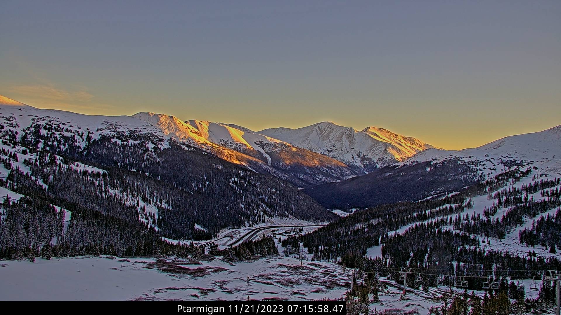
Crystal clear at Loveland Ski Area. Snow arrives around 5pm on 11/24.

Current Setup
Water vapor satellite shows the next storm system in the PNW/BC and Canadian cold front.
Orange/red = drier air aloft.

Forecast Jet Stream
Valid 11/24. Jet supports Canadian cold front digging south. Door is wide open for colder air.

Valid 11/30. Quiet Intermountain West with bulk of energy directed to PNW/BC and to Northeast.

Forecast Radar & Satellite
Forecast Snow Totals
*Updated 2pm 11/21.
MT Snow: Late 11/22 through early 11/24.
UT Snow: Late 11/23 through early 11/25.
CO Snow: Late 11/23 through 11/25.
NM Snow: 11/24-11/25.

*Updated 2pm 11/21.

How do you think the I40-/25 corridors will be on Friday? Gleeeeeee. It’s the AZ-den return pilgrimage.
Hi Kristin! Looks like an all snow event from Raton Pass to Denver on I-25. Snow starts on I-25 at Raton around 4am Friday. Accumulation on Friday 2-4 inches along the corridor. Most of the snow in Denver occurs late 11/23 until Noon on 11/25 with less in the afternoon. Chris