Tomer’s Take: We’re heading into a much quieter period for the Intermountain West with one exception. An area of low pressure develops in Southern Colorado and Northern New Mexico 12/13-12/14 with moderate to heavy accumulation.
New snow at Steamboat, CO in the last 48 hours. Steamboat is benefiting from a dirty NNW flow out of WY.

Current Setup
Infrared satellite shows the storm track and fast moving areas of low pressure.

Forecast Jet Stream
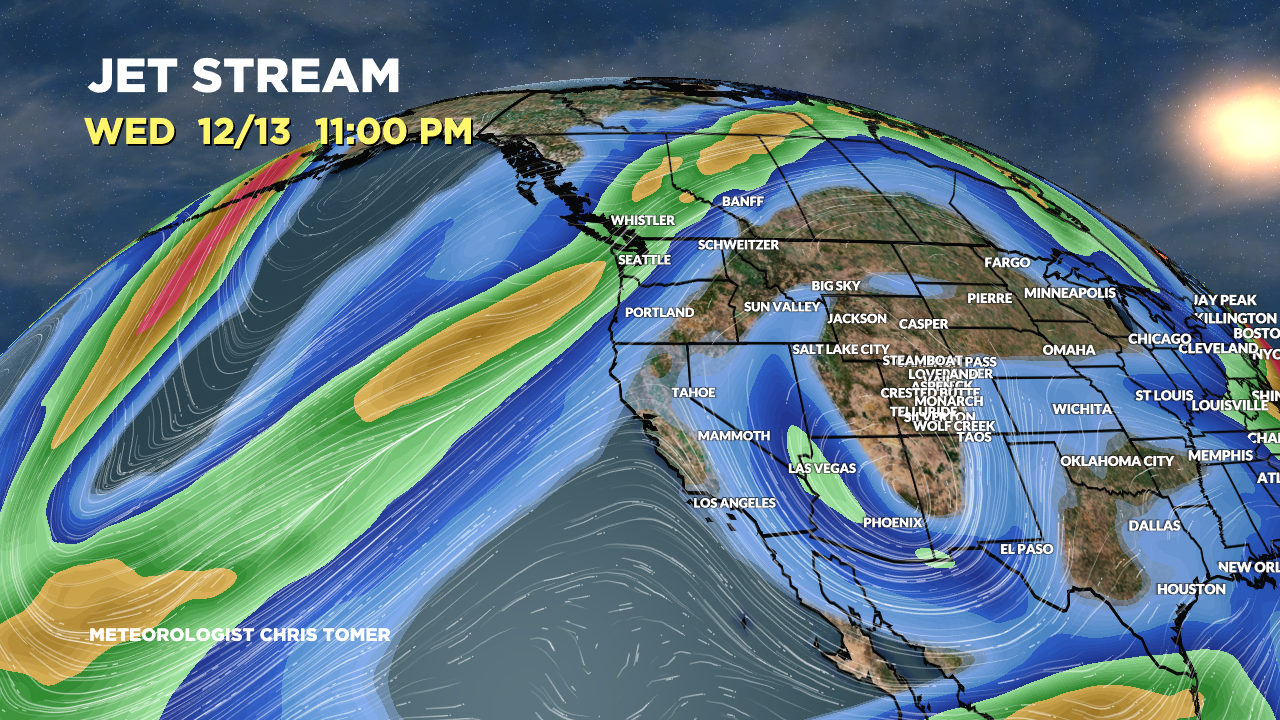
Valid 12/13. An area of low pressure develops in Southern CO and Northern NM. Southern jet provides a little support. Polar jet runs north into Canada.

Valid 12/13 at 11pm. Storm system matures in Southern CO/Northern NM.

Valid 12/20. A trough of low pressure approaches California. CA stays totally dry until 12/18.

Forecast Radar & Satellite
Forecast Totals
Southern CO Snow: 12/13-12/14.
Northern NM Snow: 12/13-12/14.


100% of this snow falls on 12/11.

I would be interested in you thoughts on extreme cold in Russia now and any interactions and how it might affect US weather as it shifts.
Regards
Thanks, Terry! I’ve read some interesting hypotheses. I’ll have to write a blog post. Chris