Tomer’s Take: Snowfall continues to trend down for CA and the Interior Rockies 11/13-11/18. Trough trajectory and weak atmospheric river (AR) intensity are two limiting factors. A larger trough of low pressure across the West might be possible after 11/18. That said, heavy snow is likely for BC and higher elevations of the PNW with a couple feet of accumulation possible.
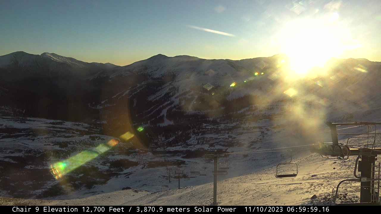
Clear Opening Day morning at Loveland Ski Area. Colorado is in for a 7-10 day dry stretch. I’m not forecasting any significant snow until 11/18 or later.

Heavy snow starts this afternoon/tonight in Whistler/Blackcomb and continues all night into 11/11. A 2nd burst of snow likely PM 11/12 and AM 11/13. Morning cam:

Current Setup
Water vapor satellite shows a large trough of low pressure hitting AK, BC and eventually PNW.
Orange/red = drier air aloft.

Forecast Atmospheric River
Forecast Integrated Vapor Transport (IVT) for 38N/123W (San Francisco coast) next 10 days. Notice one spike in intensity then a low level of contribution.

Forecast Jet Stream
Valid 11/15. Trough is further West off CA coast versus previous forecast solutions.

Valid 11/19. Exciting area of low pressure through CO/NM plus active jet in PNW with developing trough.

Forecast Snowfall
*Update 2pm 11/10.
Valid 11/10-11/13 mid-mountain. Big totals in BC/PNW higher terrain.

*Update 2pm 11/10.
Valid 11/14-11/18 mid-mountain.
