Tomer’s Take: Both jets turn active 11/30-12/7 with heavy snow likely in the PNW, BC, ID, WY, UT, CO.
In the Northeast, heavy snow accumulation is possible with a coastal storm system 12/3-12/4.
My forecast video:
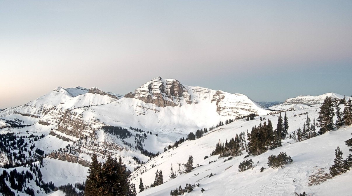
Crystal clear view of Cody Bowl at Jackson Hole. Next snow arrives late 11/30-12/4.

Current Setup
Water vapor satellite shows what’s coming. Both jets deliver a series of storm systems.
Orange/red = drier air aloft.

Forecast Jet Stream
Valid 11/29. The first minor storm system takes a southern track and helps to break down a small ridge of high pressure.

Valid 12/2. Moist flow into the PNW/BC and storm system moving through WY, CO, NM.

Valid 12/7. Powerful jet running into the PNW and storm system sliding through MT, ID, WY, UT, CO.

Forecast Radar & Satellite
Forecast Totals
*Updated 4:30pm 11/28.

*Updated 4:30pm 11/28.
WY Snow: Late 11/30 through early 12/4 (bulk 12/2-12/3), and 12/6-12/8.
UT Snow: Late 11/30 through early 12/4 (bulk 12/2-12/3), and 12/6-12/8.
CO Snow: 12/1-12/4, and 12/7-12/8.

*Updated 4:30pm 11/28.

*Updated 4:30pm 11/28.
