Tomer’s Take:
- Surge continues 8/22 then a break 8/23-8/24.
- Next surge is small on 8/25-8/26.
- Snow is possible on the 14ers with each surge.
- Telluride Mountain Run 8/27 forecast is below.
- Looking ahead, the Monsoon turns much weaker by the end of August.
Seasonal Shift
Eric Holle posted this video on Facebook of snow on Coxcomb Peak (13er) over the weekend.
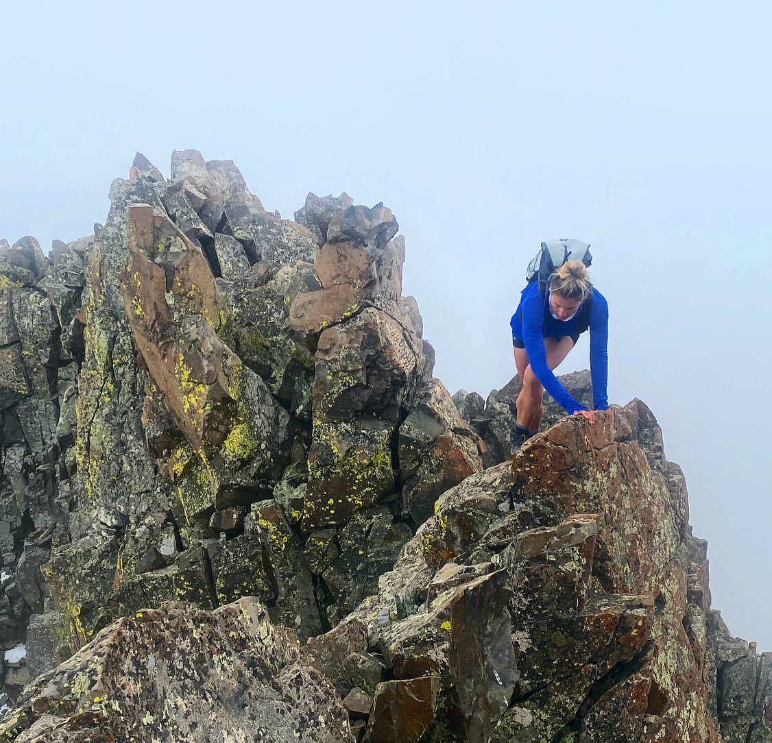
Andrea Sansone and Andrew Hamilton climbed El Diente in low clouds on 8/20.


Current Setup
Water vapor shows the shifting position of high pressure. As a result the flow is forcing most of the moisture in Colorado south of I-70 today and then drier 8/23 and 8/24 before the next surge.
Side note, our recent surge of Monsoon surge is now located in Dallas, TX where over 6 inches of rain fell in 24 hours (record) causing significant flash flooding. You can see the brighter (blue & green) colors = more moisture aloft. The orange/red colors = drier air aloft.

Forecast
| Longs Peak | AM | PM |
| 8/22 | Dry | 50% |
| 8/23 | Dry | 40% |
| 8/24 | Dry | 40% |
| 8/25 | Dry | 70% |
| 8/26 | 10% | 70% |
| 8/27 | Dry | 40% |
| Mount Sneffels | AM | Dry |
| 8/22 | Dry | 80% |
| 8/23 | Dry | 40% |
| 8/24 | Dry | 50% |
| 8/25 | Dry | 90% |
| 8/26 | 10% | 90% |
| 8/27 | Dry | 50% |
Monsoon surge 8/25-8/26
It looks like a small surge over two days.
This is forecast humidity in the middle of the atmosphere valid afternoon 8/26.. Notice it’s highly saturated (greens). The plume of moisture is sliding through Colorado.

Telluride Mountain Run 8/27
| Hour | 4am | 10am | Noon | 4pm | 9pm |
| % | Dry | Dry | 40% | 40% | 10% |
Texas really needed the rain, but probably not all at once. ⁸
No doubt, what an event. Chris