Tomer’s Take: A Pacific storm system hits CA on 1/24 then moves into UT/WY/ID/MT/CO/NM 1/25-1/26 with light to moderate snow accumulation. Then a brief high pressure ridge builds over UT/WY/CO/NM 1/27-1/31 with the storm track favoring the West Coast/PNW. The pattern turns more active after 2/1.
My afternoon forecast video update:
Current Setup
Water vapor satellite shows a southern track low and a Pacific storm system. The Pacific storm system hits CA on 1/24 then UT/ID/MT/WY/CO/NM 1/25-1/26.
Orange/red = drier air aloft.

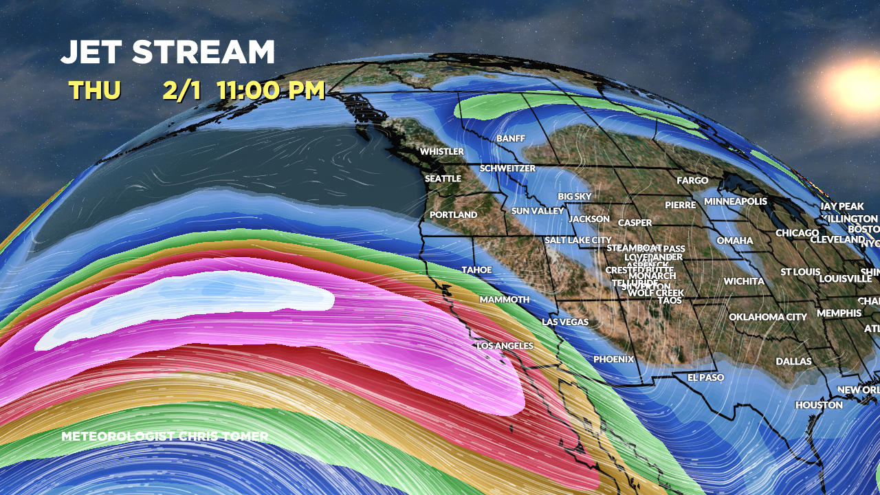
Forecast Jet Stream
Storm drops into the trough 1/24-1/26.

Brief high pressure ridging WY/UT/CO/NM 1/27-1/31.

Strong Subtropical jet blows moisture into CA/West Coast and probably overruns UT/ID/WY/CO.

Forecast Radar & Satellite
Forecast Totals


