Tomer’s Take: Three separate storm systems hit the PNW through 11/9. The first two storm systems deliver a moderate surge of atmospheric river (AR) moisture. Overrunning snow is likely in Banff, MT, WY, and eventually UT and CO although to a lesser degree. Snow levels in the PNW start high.
My forecast video:
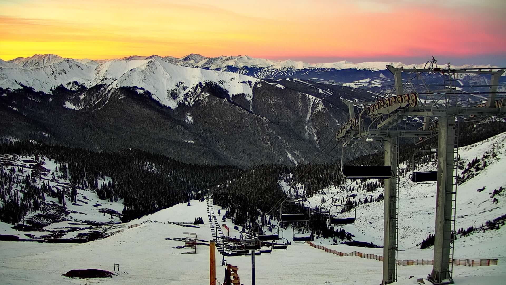
Sunrise this morning at Loveland Ski Area, CO.

Sunrise this morning from Arapahoe Basin, CO.

Current Setup
Water vapor satellite shows the inbound AR.
Red/orange = drier air aloft.

Forecast Atmospheric River
Forecast Integrated Vapor Transport (IVT) for the PNW. Notice the two distinct moderate intensity surges with a trailing weak intensity signature 11/6-11/7.

Forecast Rain/Snow Line
Washington State (Min/Max):
11/1: 9200’/10800′
11/2: 6600/8900
11/3: 7100/9500
11/4: 6700/8000
11/5: 5900/6900
Forecast Jet Stream
The jet stretches back to near Hawaii acting like a moisture conveyorbelt.

Powerful jet orientation.

Forecast Radar & Satellite
Forecast Snowfall
*Updated 2pm 11/1.

*Update 2pm 11/1.

Snow Timeline
Teton Range, WY:
11/2: PM 3-4″
11/3: AM 5-6″
11/5: 4-8″
11/6: PM 3-6″
11/7: PM 1″
11/8: 2-3″