Tomer’s Take
- Primary storm track favors the Northeast with numerous storm systems, Alberta Clippers, lake effect, and cold temperatures.
- Western high pressure remains in place with occasional cold fronts sneaking through the periphery running through ID, MT, WY, CO and UT. This is in-line with a peaking La Nina pattern.
- When will a larger pattern change hit the Intermountain West? Potentially around 2/1 when the Pacific North American (PNA) oscillation turns negative (see forecast below).
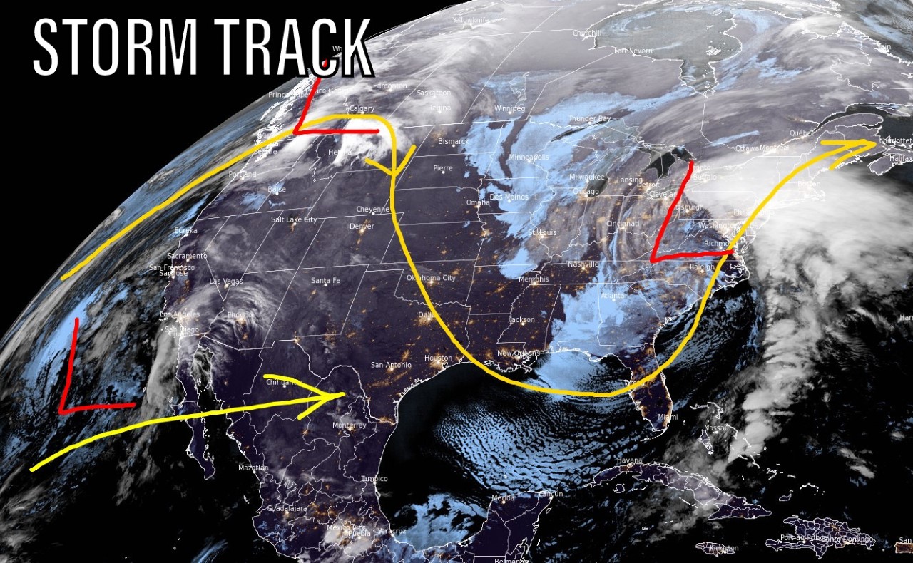
Infrared satellite shows the storm track with Western ridge and Eastern trough. Occasional cold fronts will sneak through the periphery of the Western ridge next two weeks.

Snow & Blowing
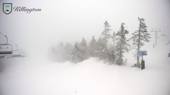
Mount Washington recorded a 121mph wind gust Monday morning. It’s snowing and blowing at Okemo and Killington, VT.

Take a look at this video of a chair at Okemo blowing wildly!
Fronts Sneak Through
One of those cold fronts races through WY, MT, ID, UT, and CO this Thursday night-Friday (1/21). Notice the dip in the jet stream.

We could see a similar cold front on 1/24-1/25 race through MT, WY, ID, UT, and CO.
This pattern is in-line with a peaking La Nina pattern.

La Nina forecast:

Looking Down the Road
When will the Intermountain West see a larger pattern change? Potentially around 2/1. The Pacific North American (PNA) pattern turns negative towards the end of January. Negative PNA stacks the odds in favor of colder/stormier for the West.

This agrees with the forecast pressure pattern around 2/1.

Snow Forecast
1/17-1/20:

1/21-1/26:


Chris…
You’re doing a great thing here. Keep it up!
Thanks, Steve! Chris
Appreciate your lament terms forecasts. We travel from Grand Jct. to the front range frequently & have always had safe, enjoyable driving by relying & trusting your impeccable accuracy!
Thanks, Jacci! Chris
Love the weather updates !!
Thanks, Renee! Chris
Thanks ?
Thanks, Jorge! Chris