Tomer’s Take: A strong cold front with snow for CO, UT, WY is still on track between 10/11-10/12. Storm track has shifted a little north pulling the bigger CO totals a little further north. Light to moderate accumulation in UT, moderate in WY (exception is Hogadon Basin and Snowy Range with heavy snow coming), with moderate to heavy totals in the Central and Northern Mountains of CO. Air temps drop 15-30 degrees forcing snow levels to drop.
Mountain Towns
The mountain towns of Aspen and Vail, CO start as rain on PM 10/11 then change to a mix and then finally snow 10/12. Bulk of snow accumulation occurs at higher elevations.
The mountain town of Steamboat Springs, CO stays as rain both days.
Current Setup
Water vapor satellite shows the shifting storm track with penetrating Polar Jet and area of low pressure. Red/orange colors = drier air aloft.

Forecast Mid-Atmosphere
Below is forecast mid-atmospheric pressure anomalies valid 10/12. Notice the lower pressure anomalies over the CO, WY, UT.

Forecast Jet Stream
Below is forecast jet stream velocities valid 10/12. The Polar Jet delivers the cold front and area of low pressure.

Forecast Snowfall
*PM 10/10 Updated Snow Forecast Totals. I also put Hogadon Basin, WY on the map.
Forecast mid-mountain snow totals 10/10-10/13.

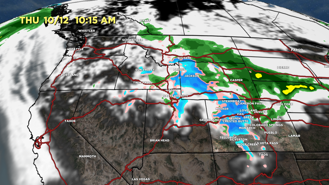
Forecast radar valid 10/12 10:15am:

High Peaks Forecast
Grand Teton, WY
10/10: PM 1-3 inches
10/11: 2-4 inches
10/12: 1-2 inches
Kings Peak, UT
10/11: 1-2″
10/12: 1″
Capitol Peak, CO
10/11: PM 1-3″
10/12: 3-6″
Longs Peak, CO
10/12: 3-6″
Quandary Peak, CO
10/11: PM 1-2″
10/12: 2-4″

Chris – Can I ask for your best advise on this – planning our annual trip from east coast out for the winter – looking at Taos or Sun Valley (something different) – with strong El Nino – go south?
Hi John, with a super strong El Nino this loads the dice for Taos. My guess is that Sun Valley gets slightly below normal snowfall this Winter. Chris